
陆地设备
地面磁测
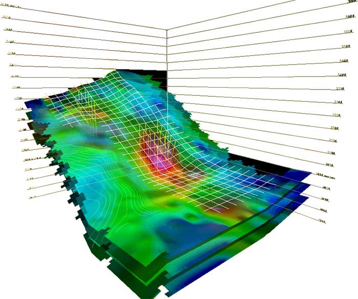
Field magnetometric surveys provide information with a high level of detail and resolution for hydrocarbon and mining prospection.
On a field field magnetometric survey, the physical principles of prospection involve identifying anomalous magnetizations associated with local mineralization, and to subsurficial or deep structures that control the formation of mineral deposits, at the different depths of the basin.
This portable device can be used on a field exploration survey which is carried out on a previously defined grid of a possible geological anomaly. The data is then processed and interpreted in a lab in order to generate geo-referenced imagery adapted to diverse Geographic Information System (G.I.S.) software.

