
AIRBORNE SENSORS

Airborne Hyperspectral Sensor
HORUS captures hyperspectral data in the Visible, Near Infrared and Shortwave Infrared, grouping them into 2151 bands. This sensor is internally composed of 3 subsystems that acquire data simultaneously:
- VNIR (350 – 999 nm).
- SWIR1 (100 – 1,799 nm).
- SWIR2 (1,800 – 2,500 nm).
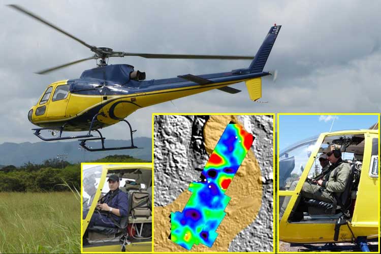
HORUS consists of a spectrophotometer connected to a lens through fiber optic cable, and its acquired data is registered in a laptop simultaneously with the GPS position information.
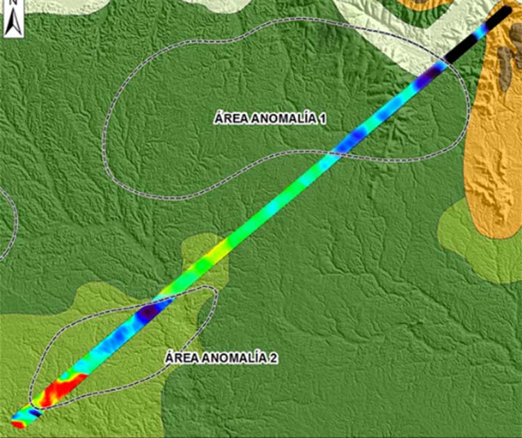
This sensor acquires specific data that can be used to generate imagery from interpolation (Raster), or to analyze individually (Vector). The data can then be uploaded to a Geographic Information System (G.I.S.)
Depending on the altitude and speed of the flight, imagery is acquired with a spatial resolution that ranges from several centimeters to a dozen meters. This way it is possible to carry out detailed work as well as projects of regional scope.
General Features
- Total net weight: 33 Pounds / 15 kg
- GPS diferencial: Trimble / OmniStar.
Spectral and Spatial Features
- Electromagnetic Region: Near Ultraviolet, Visible, Near and Shortwave Infrared.
- Spectral Range: 350 to 2,500 nm.
- Spectral Resolution: 2,151 bands.
- Bandwidth: 1.4 to 2 nm (nominal).
- Dynamic Range: 16 bits.
- Spatial Resolution: 1 mrad.


