
SATELLITE IMAGERY
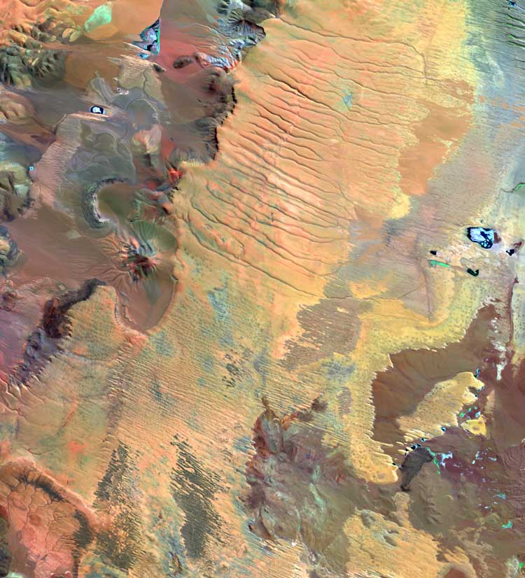
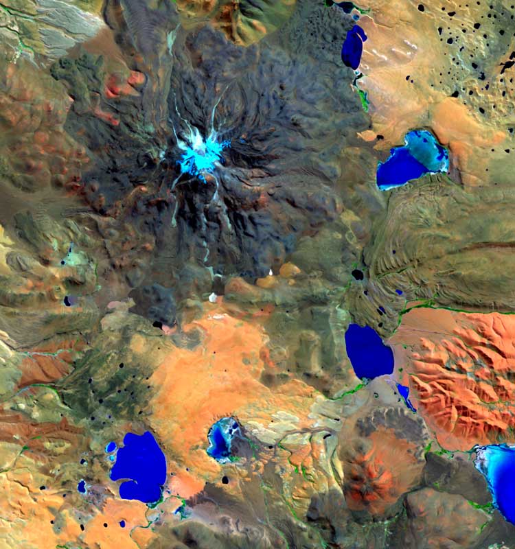
Satellite imagery provide a unique perspective on the Earth and its resources, and on the impact humanity has had on it. It is therefore a great source of information for numerous applications, such as the exploration of natural resources, urban planning, environmental monitoring, crop management, and real estate, among others. On the other hand, the global coverage and periodicity of satellite images enable the acquisition of data in areas of difficult access or monitoring studies that require imagery of a certain area on different dates.
Satellite imagery can be classified into two groups, based on the energy emission source:
Active Sensors: the sensor provides its own energy at one or various frequencies, and then receives the energy that is reflected. SAR (Synthetic Aperture RADAR) is and active sensor, and it captures wavelength data at microwave frequency.
RADAR images are produced by transmitting microwaves at a target area and subsequently collecting the reflected energy (backscatter), which returns in distinctive patterns depending on the local topography, textural characteristics of the surface and the dielectric properties, which are related to the humidity levels. Low backscatter values are shown in the image with dark colors, whereas high backscatter values have light colors. Still water is usually dark due to the specular reflection and its resulting weak return, while urban areas are always very bright given the microwave reflection on the walls of the buildings. Everything else that falls into one of those two extremes is represented in shades of gray. HytecAltoAmericas uses commercially available SAR datasets for on-shore and off-shore studies. Radar and spectral data can be merged with each other to cover multiple needs.

Passive Sensors: use energy from an external source: the sun, which reflects on the surface of the earth and then returns to the sensor. Optical Sensors belong to this group, and they capture spectral data from the Visible and Near Infrared, the Shortwave Infrared and Thermal Infrared. LandSat, ASTER, MODIS, CBERS, SPOT, Ikonos, QuickBird and WorldView are all passive sensors.
Detectors can measure surface reflectivity or emissivity present in every object at various wavelengths of the electromagnetic spectrum, and the processing of these parameters enables the identification of the different elements on the surface of the earth.
When acquiring imagery for a certain project, it is necessary to determine which are the most useful, since each sensor has specific spatial, spectral and temporal resolution, which are different from one another.


The team of HytecAltoAmericas is highly experienced in the processing and interpretation of all types of satellite imagery – useful in a wide variety of studies.
